
The Southwest Oklahoma Regional Transportation Planning Organization (SORTPO) is a leader in regional transportation planning for facilitating collaboration and input opportunities into decision making for future transportation infrastructure, safety, and economic growth in southwest Oklahoma.

Shape The Future
Technical Committee and Policy Board
The SORTPO Transportation Technical Committee and Transportation Policy Board meetings are open to the public and held by SWODA in Burns Flat, Oklahoma and ASCOG in Duncan, Oklahoma. Please view schedule for details.
Latest News

Resolution No. 2024-1
Adopting Amendment #1 to the Federal Fiscal Year 2024 Planning Work Program for the Southwest Oklahoma Regional Transportation Planning Organization.

SWOK Transportation Chat – Frederick, OK
Southwestern Oklahoma Transportation Chat Group. Great Plains Technology Center, 2001 E. Gladstone Ave., Frederick, OK. July 23, 2024, 10:30 am – 11:30 am (ONION BURGERS TO FOLLOW!!)
Amendment #1 to FFY 2024 PWP Adopted
The SORTPO Policy Board has approved and adopted Amendment #1 to the Federal Fiscal Year 2024 Planning Work Program.
Public Participation Process
The SORTPO Transpiration Policy Board at their June 27, 2024, approved establishing a 45-day public review and comment period beginning June 28, 2024, through August 13, 2024, to solicit comments on Amendment #3 SORTPO Public Participation Process.

Altus Area Transportation Resources
Oklahoma Mobility Management
Altus Area Transportation Resources
Weatherford Area Transportation Resources
Oklahoma Mobility Management Weatherford Area Transportation Resources
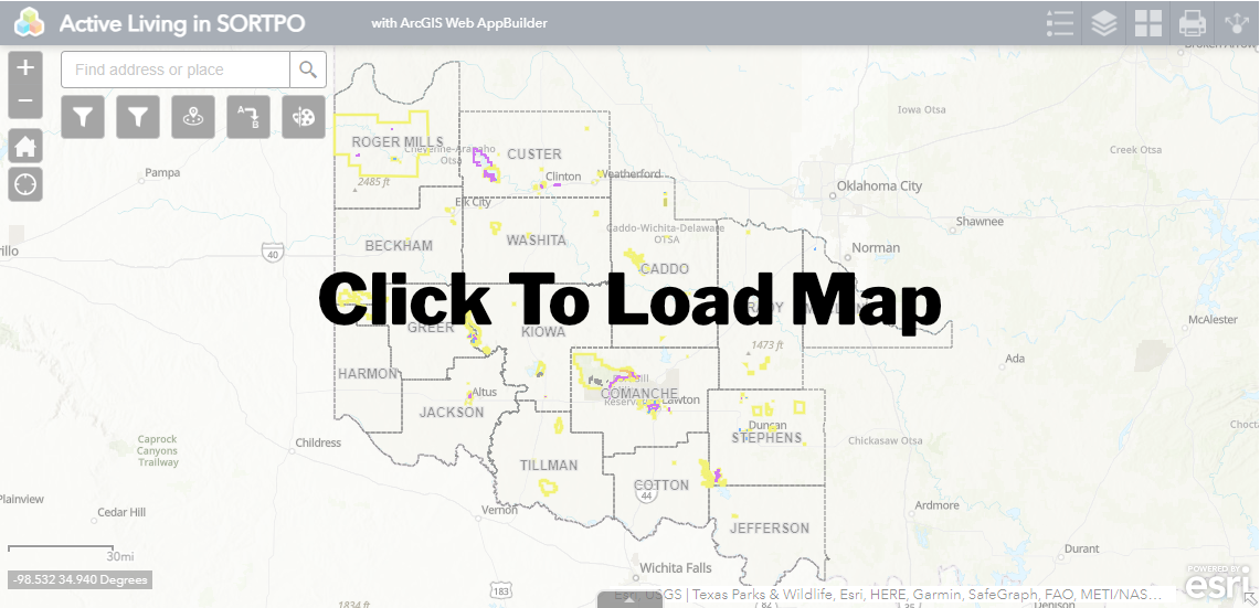
Active Living
One of the goals of the Regional Transportation Planning plan is it increase and improve opportunities for physical activity with a focus on bicycle and pedestrian. There are many opportunities to be active in the SORTPO region. By safety. Through this map you can zoom into to specific counties or municipalities then click on the trail and it will bring up a box with more information. There is a search bar that you can type in the name of the park/municipality. From this search you can select the site and an information box will appear containing information on the park. Each point of interest has a list of amenities.