One of the goals of the Regional Transportation Planning plan is it increase and improve opportunities for physical activity with a focus on bicycle and pedestrian.
Create Thriving, Activity-Friendly Communities
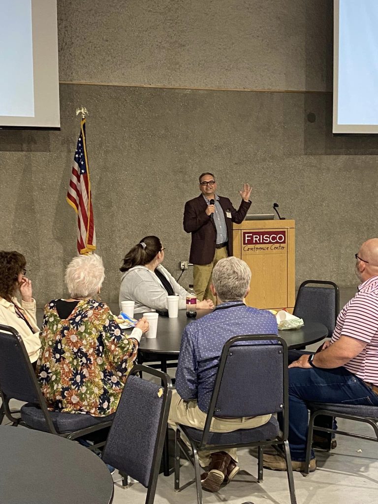
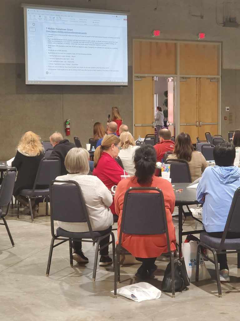
2022 Southwest Oklahoma Walkability Summit
On October 20, 2022, a summit was held in Clinton, Oklahoma. The intent of the summit is to enhance individual and community-based efforts to increase walkability by connecting leaders and community members with valuable resources and information.
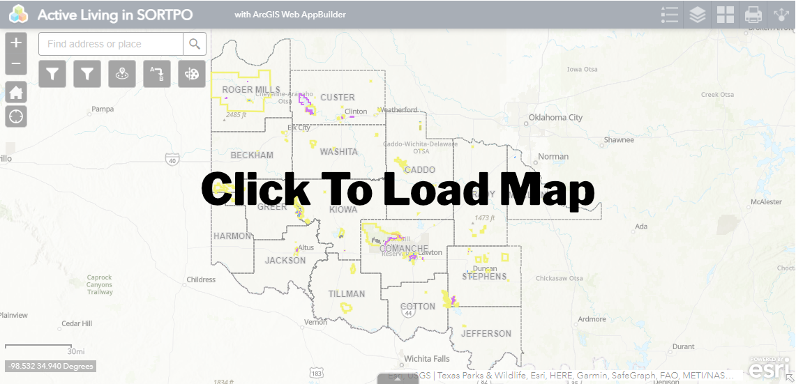
Active Living Map
There are many opportunities to be active in the SORTPO region. By safety. Through this map you can zoom into to specific counties or municipalities then click on the trail and it will bring up a box with more information.