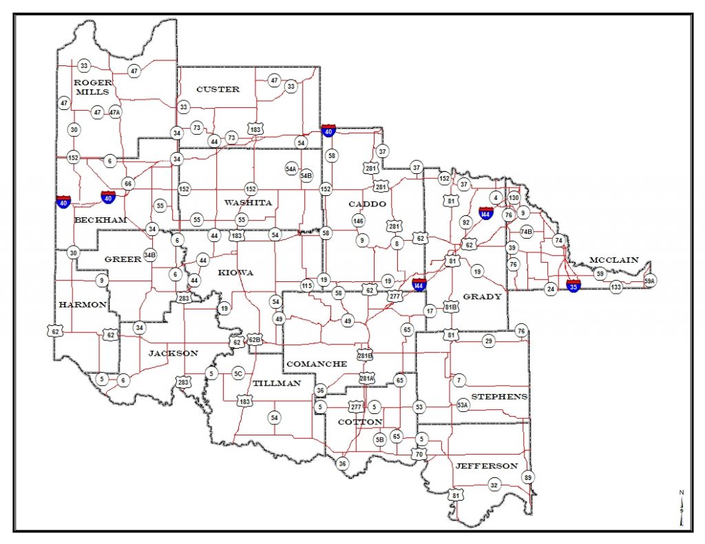
Southwestern Oklahoma Counties: Beckham, Caddo, Comanche, Cotton, Custer, Grady, Greer, Harmon, Jackson, Jefferson, Kiowa, McClain, Roger Mills, Stephens, Tillman, and Washita.
Maps/GIS/Data
- ODOT Map & Data Portal
- Oklahoma Road Conditions
- ODOT Maps
- Oklahoma Data Warehouse
- Office of Geographic Information – Oklahoma Map
- US Census
- US Census Data Tools and Apps
- US Census Quick Facts
- Bureau of Transportation Statistics
- American Fact Finder
- US Dept of Commerce Economic Indicators
- US Dept of Commerce Environmental Data
- Oklahoma Highway Saftey Office – Crash Data
- WSDOT ALPACA
- OpenStreet Maps
- Google Maps
- Bing Maps
- MapQuest
SORTPO uses Geographic Information Systems (GIS) to map each area of study or planning. If you have questions or concerns regarding mapping of any area within the region, please feel free to contact us.
